Tag Archives: orientation

Mark Reid talking walking

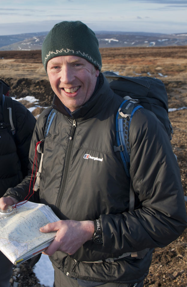
If you are ever going to be caught out in inclement weather on the mountains or hills of northern England, having met Mark Reid, founder of Team Walking, Andrew Stuck can think of no other person he would rather have as his guide. Mark’s passion for the outdoors is only outshone by his desire to share it with others. He has written many guide books, led countless walks and facilitated workshops in the hills, and has notched up mountain leadership and training qualifications by the score. In this interview, we talk about creative thinking as Andrew has just joined one of Mark’s regular, seasonal ‘netwalking’ events with local businessmen and women in the Yorkshire Dales. However, the interview opens with Mark describing a recent philosophy walk that he co-devised with community philosopher, Graeme Tiffany, revealing how walking with others can take you in to deeper thoughts. 22’15” 10.4MB

Download notes of items mentioned in the interview of Mark Reid

Martin Foessleitner talking walking

Martin Foessleitner is an Information Designer living in Vienna. As he undertakes all his dailyVienna_way_marker1 errands on foot, he knows his neighbourhood intimately. However, Vienna isn’t just for residents, it attracts day trippers and is an international tourist destination. Andrew Stuck walked with Martin through the centre of the city on a sunny October day as he explained to me how he came to design the city’s way marking system and how when providing information to those on foot, less is more.Vienna_way_marker2

Recorded in October 2015 on a walk through Vienna in Austria. Published in June 2016 26’45” 12.5MB

Download notes of items mentioned in the interview with Martin_Foessleitner

What Martin has been doing since our interview

“Universal design in a new attitude: understood as a right on privacy, access to public spaces and participation in social life for everyone in any situation, a basic design principle assisted by invisible serving technology, we are fascinated by combining analog maps with augmented reality functions.”